
Map
The map shows your photos and videos placed on a world map by where they were taken, so you can rediscover memories by location instead of scrolling through dates.
In the web app, open the menu on the search bar and choose Map , or go straight to app.zeitkapsl.eu/map.
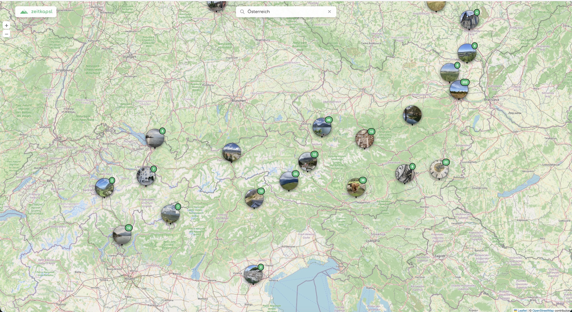
Locations and clusters
Many photos carry GPS coordinates in their metadata, recorded by the camera when you took them. zeitkapsl reads that location on your device and places the item on the map. Photos without location data simply do not appear on the map.
Nearby photos are grouped into clusters so the map stays readable. A cluster shows how many items it contains:
- Tap or click a cluster to zoom in, and it splits into smaller clusters and individual photos.
- When items sit almost on top of each other, the cluster fans them out so you can pick one.
- Tap a single photo to open it in the viewer.
With the location setting enabled, each item's info panel also shows its GPS coordinates, in addition to it appearing on the map.
Privacy
The location on the map comes entirely from your own photos, and, like the photos themselves, that location data is end-to-end encrypted and read only on your device. We never see where your pictures were taken.
The map is off by default on new accounts. If you would like to see it, or would rather keep location data hidden, you can turn it on or off any time. In settings, the GPS map option controls both the map and the location shown in each item's info panel.
Map tiles from OpenStreetMap
The map imagery is loaded from OpenStreetMap's tile servers, a third party outside zeitkapsl, subject to their own privacy and tile usage policies. Only the visible viewport's coarse grid squares are requested, never a photo's exact coordinates. Turning the map option off skips these requests entirely.